I headed north out of Sedona to the Grand Canyon; a Wonder of the World and a place I believe every American (who is able) should see at least once. The family I camped next to had been to both the North and South rims and told me the view is better from the S but there are far less crowds (= more enjoyable) on the N side. I headed to the South first and planned to loop around. I was also trying to coordinate with Chris, my Valentine’s day friend from Guatemala who is currently living in LA, who was going to try to meet me out there for an overnight backpack into the Canyon. He couldn’t make it for another day or two so I was going to have a quick oogle, see some other things and then come back.
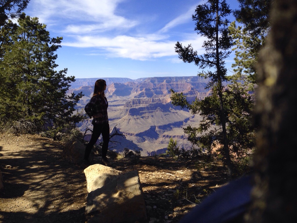
After parking, I actually got excited butterflies in my stomach walking towards the viewpoint by the Visitors Center. And then WOW. Everything people have told me about it is true. It’s too big to really realize. It makes you feel small. And in utter awe of Mother Nature/God’s Creation.

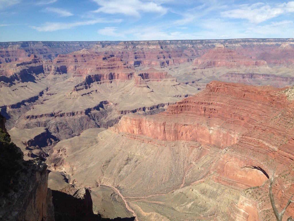
I planned to do a long hike from the North Rim so I quickly set off for a hike into the Canyon from the South; not wanting to miss out on anything. I hiked down the South Kaibab trail, past the “Ooh Aah Point,” down to Cedar Ridge where it plateaus a bit at 6,080 feet. Then back up to the trailhead at 7,200 feet. About 3 miles round trip, it took me just over an hour including a snack and photo stop:
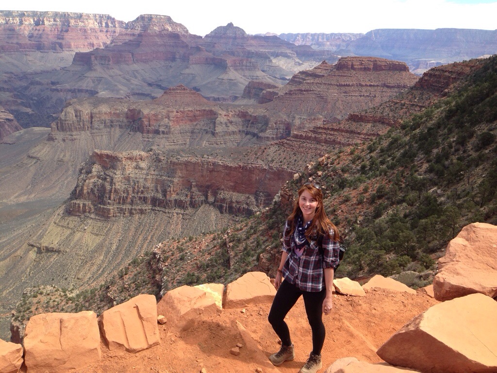
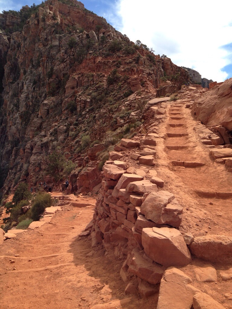
Next I took a shuttle to the backcountry office to inquire about an overnight permit. Bad news; the North Rim is closed until sometime in April! What a bummer. It threw off my loose plan of looping around, but I would figure that out later. I walked for another hour or so along the rim trail, not sure if I would come back again soon now. It is all just too big and beautiful.
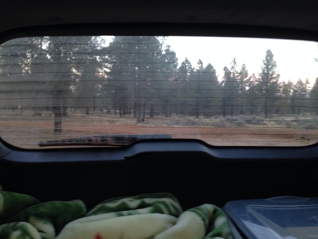
After my last night in the backcountry I planned to stay in a campground. There were two open; the first I went by is privately owned and one of those places where there are no trees and everyone sits there looking at each other. I checked to see if their claim of wifi was true, found out it wasn’t, and continued south to the national park service campground. But it was closed up for renovation. Instead of turning around I turned down the next forest road and found a beautiful spot under tall Ponderosa Pines, within earshot of some other folks. I reminisced about Mongolia as I steeled myself for a bucket and wet-wipe shower and no wifi for two days now, but it was lovely there nonetheless. It got dark and cold quickly.

There was frost on the inside of my windows in the morning. My car thermometer said it was 18 degrees out. I’m glad to say that I wasn’t cold curled up in my sleeping bag, huge blanket and wool cap, but it sure was hard to get out and boil water for my oatmeal.
At this point I didn’t know what I was going to do. I wanted to meet up with Chris but everything I wanted to see (besides to Canyon) was further north and east; a longer and longer drive for him from LA. Phone service was spotty and it was about this time that my “roaming data,” which I didn’t know was a thing inside the county, ran out, rendering all of the “smart” capabilities of the iPhone, including text messaging, dead. It made it that much harder to coordinate anything. I was more blind here than I had been in nearly any part of my travels. But oh rapture, knowing I had a secure place to sleep with me (my car) made the whole thing a (mostly) safe adventure. I was really On The Road.
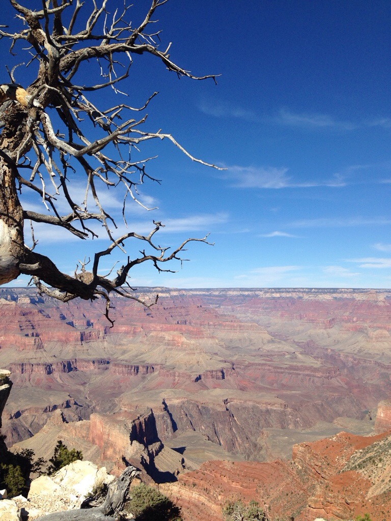
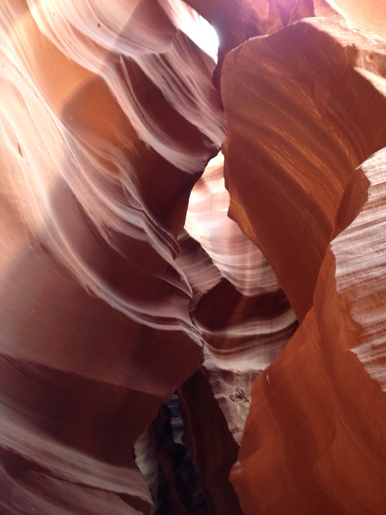
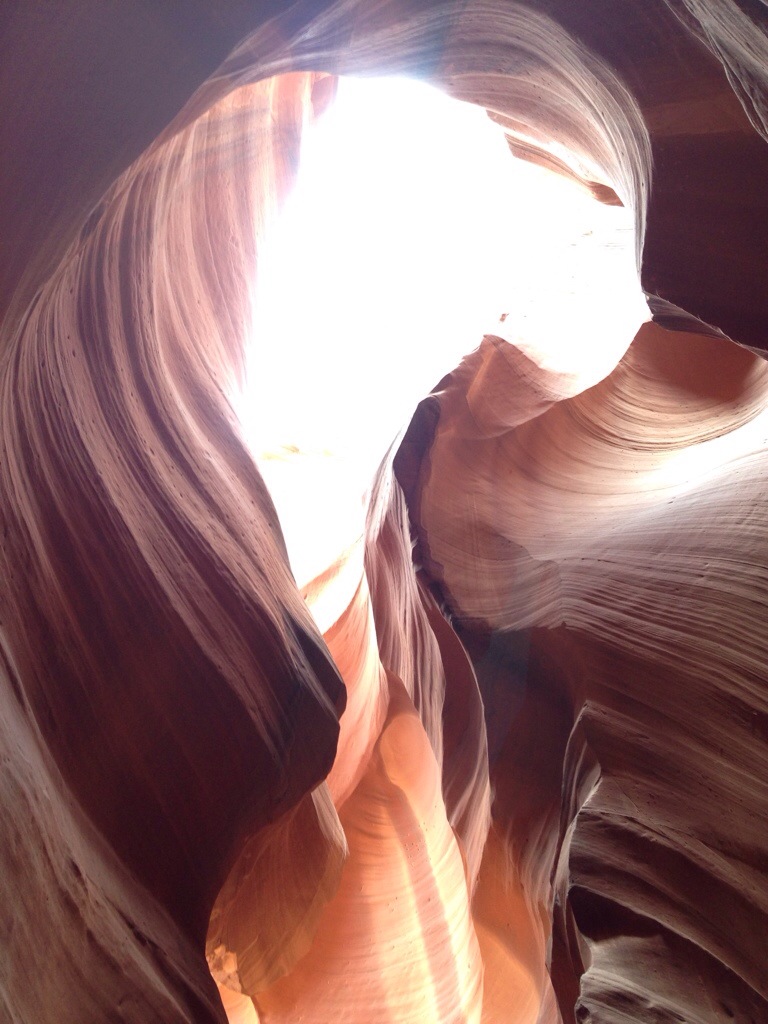
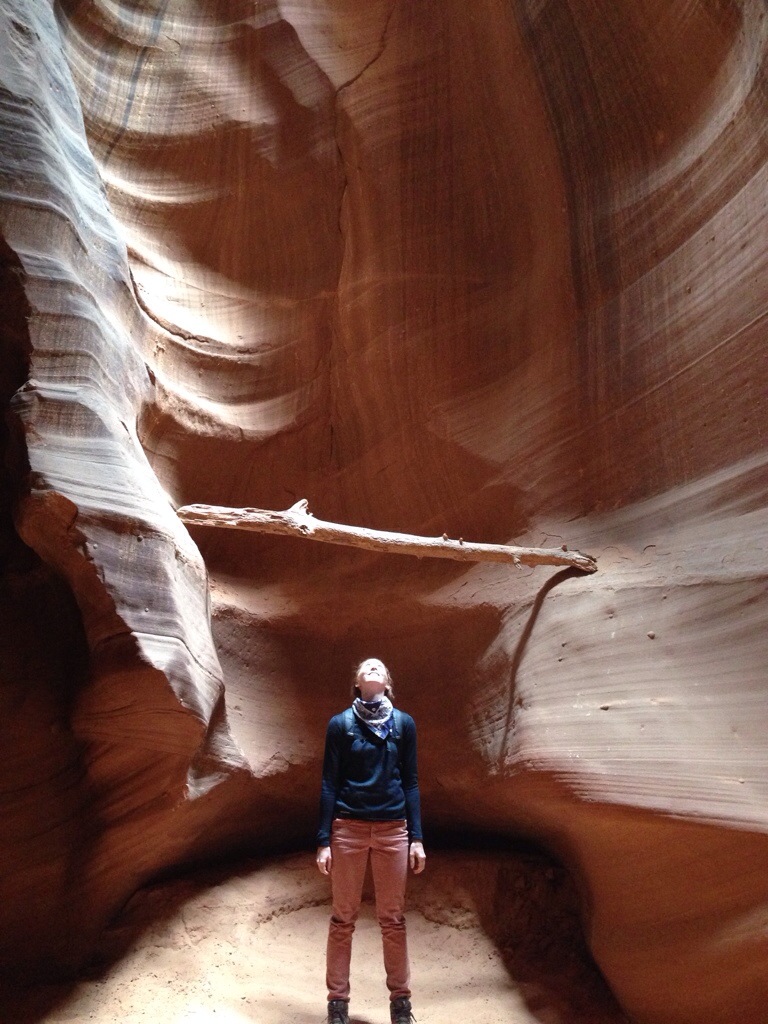
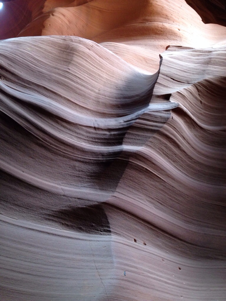
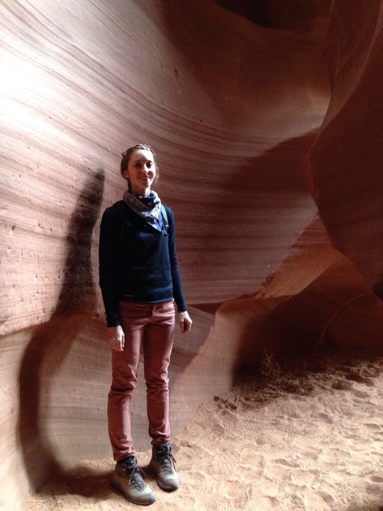
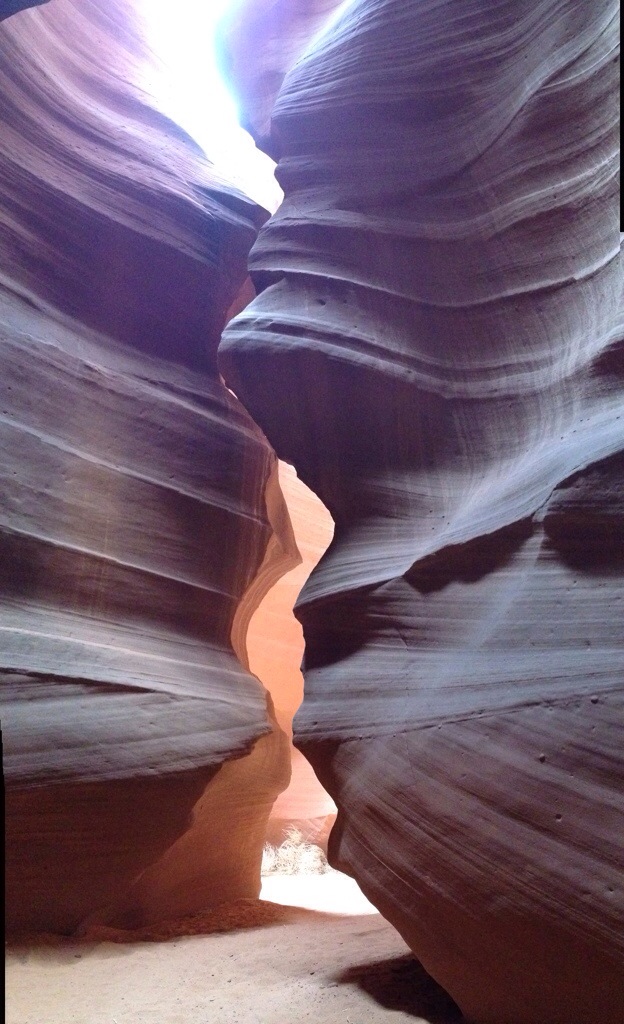
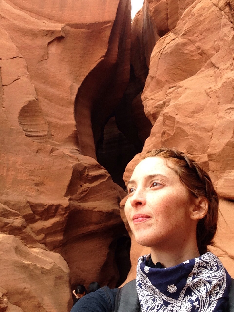
I decided the only thing to do was what I had wanted to do originally and hope Chris and I could connect somehow on the way. I went back through the Grand Canyon park with my annual pass and followed the rim east, taking lots of pictures on the way. Two hours later I was outside of Page, Arizona at a place I’ve wanted to see for years but didn’t think I’d ever actually get to. Antelope Canyon. It is a slot canyon on Navajo tribal territory that has been eroded by water and wind for eons to create breathtaking lines and colors. It is a huge tourist attraction. You have to go in with a Navajo guide in a group and even in the off season I was in a group of 14 (five Americans, three Russians and six Chinese), with another group immediately behind and in front of us. Peak season is in the summer when the sun is more directly overhead, and similarly they charge more for the peak hours of 11, 12, and 1 when the sun creates shafts of direct sunlight. You can Google Antelope Canyon to see what I mean. I got there around 2:30 which was obviously on the waning side but it was still just as incredible as I thought it would be. Our guide was awesome; she pointed out features that looked like a bear and eagle and explained the significance of them to the Navajo. And she took a liking to me and took my photo a few times.
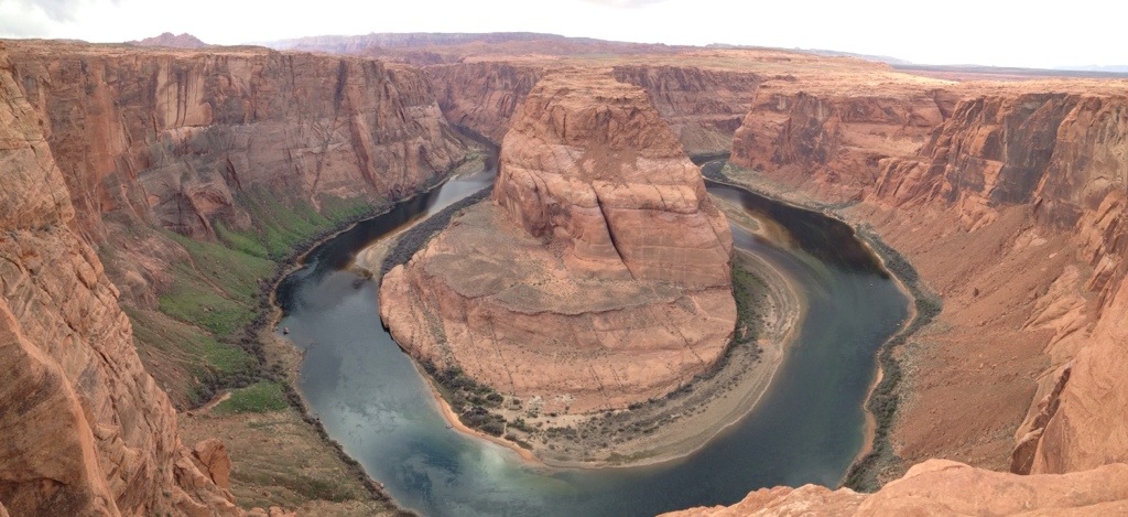
Just 20 minutes away from Antelope Canyon is a bend in the Colorado River called Horseshoe Bend. My couchsurfing host from Missouri told me about it and I’m glad she did. I was also told recently (thanks Linda!) that this is where the last scene in Thelma and Louise was shot. It’s a really cool spot.
The late afternoon was getting on at that point and I still didn’t know where I would sleep! But I’ll leave that story for next time…
Incredible landscapes! Breathtaking! A great time to be there ahead of the (BIG) crowds. Enjoy . . . . . .
These photos are AMAZING. The colors are almost edible. I NEED to go there.